| Site | ID
| Location | Elev. | Notes |
Photo |
| Coal Oil Point Reserve
| COPR | *Updated from Google Earth: 1 June 2010*
34.413695 N, -119.880226 W
Original GPS: 34.41386 N, 119.8802 W | 6 m
|
- 5-26-2007: Solar, wind, precipitation
- 6-2-2007: Leaf wetness
- 8-7-2007: Temperature, RH two levels (+75, +285 cm)
- 11-19-2007: Soil moisture and temperature at three levels (-10, -20, -50 cm)
|
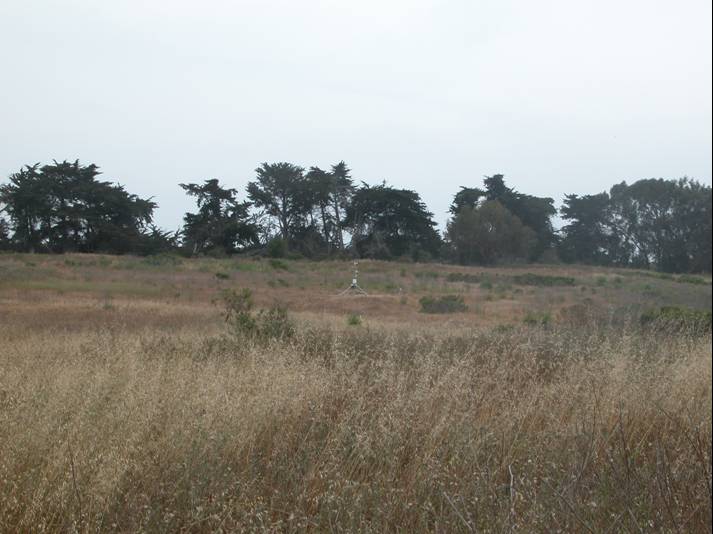
6/1/07 |
| Sedgwick, Airstrip | AIRS |
34.69685 N, 120.0484 W | 381 m
|
- 9-7-2007: Solar, wind, precip.,leaf wetness, soil moisture and temperature at three levels (-15, -23, -46 cm)
- 9-13-2007: Net Radiometer
- 9-26-2007: Temperature, RH two levels (+75, +285 cm)
|
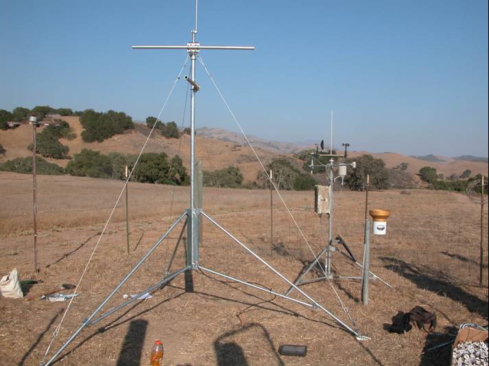
9/4/07 |
| Sedgwick, Lisque |
LISQ | 34.72449 N, 120.0635 W | 430 m |
- 10-20-2007: Solar, wind, precipitation, leaf wetness, Temp/RH one level (+200 cm)
- 12-6-2007: Soil moisture and temperature at three levels (-11, -24, -48 cm)
|
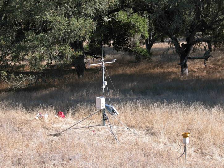 10/19/07 10/19/07
|
| Mission Canyon | MCA | 34.462833 N, 119.70933 W | 252 m |
- 05-22-2010: Solar, wind (@ 6.4m!), precipitation, fuel moisture, Temp/RH one level (640 cm), Soil moisture/temp (-25 cm)
|
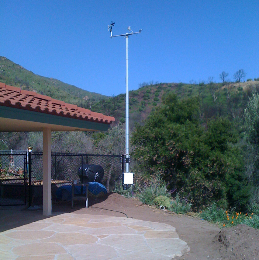 5/22/10 5/22/10
|