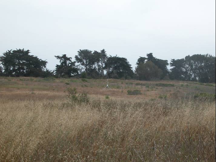
COPR weather station, Photo by Dar Roberts; June 1, 2007.
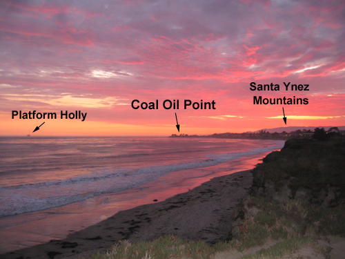
Looking west towards COP at sunset, from UCSB. Photo by Jennifer Taylor; July 23, 2007.
See larger image in a new window (3.8 MB)
|
|
|
|
COPR weather station, Photo by Dar Roberts; June 1, 2007. |
Looking west towards COP at sunset, from UCSB. Photo by Jennifer Taylor; July 23, 2007. |
Coal Oil Point Reserve (COPR) is home to a large variety of fish, bird, and plant species, and is located just to the west of the UCSB campus (ucnrs.org). Coal Oil Point gets its name from the abundant natural oil seeps near the coast (ucnrs.org), which also account for the many offshore oil/natural-gas rigs in the Santa Barbara Channel, such as Platform Holly (labeled in the photo). Our weather station at the reserve (which we're referring to as COPR) is located 3.6 km southwest from the Santa Barbara Airport's ASOS weather station (which has a callsign of KSBA). The reserve features views of the Channel Islands to the south, the Santa Ynez mountains to the north, and is immediately west of the community of Isla Vista, which has a population of around 18,344 (from the 2000 Census, Census.gov). Coal Oil Point Reserve currently serves as one of the last suitable breeding grounds for the Snowy Plover, a threatened bird species that depends on coastal settings. Dozens of other threatened and endangered species such as the Red-legged Frog, Yellow-Breasted Chat, and Burrowing Owl, rely on Coal Oil Point as one of their last remaining suitable habitats (ucnrs.org).
Coal Oil Point Reserve Quick Facts (from ucnrs.org)
Reserve Established: |
1970 |
Average elevation: |
6 meters |
Size |
150 acres |
Nearby City: |
Isla Vista |
Coal Oil Point Reserve Wx Station
Location: |
34.41386N, 119.8802 W Easting 235279.1, Northing 3811808 (Zone 11) |
Elevation: |
6 m |
Established: |
|
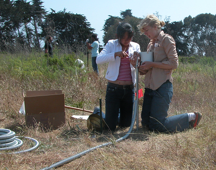 |
Attaching the rain gage at Coal Oil Point Reserve; |
Place cursor over images to view larger version
 |
 |
 |
 |
|
Photo by Meri Marsh |
Photo by Meri Marsh |
Photo by Meri Marsh |
Photo by Meri Marsh |
Photo by Dar Roberts |
 |
Photo by Meri Marsh
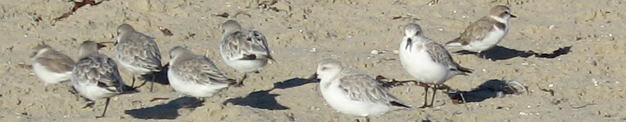
Snowy Plover Next to COPR. Photo by Jenny Douthett.