|
|
| Principal Investigators | |
 |
 |
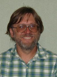
Professor Dar Roberts dar@geog.ucsb.edu |
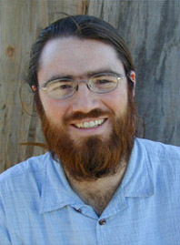
Professor Christopher Still cstill@geog.ucsb.edu |
| Web Design and Development Team | |
 |
 |
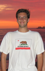
& Field Work: Ted Eckmann ted@geog.ucsb.edu |
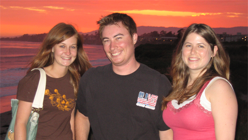
Jenny Douthett (Undergraduate Student) Doug Carreiro (Undergraduate Student) Jennifer Taylor (Undergraduate Student) |
| Field, Data, and Assessment Team | |||
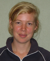 |
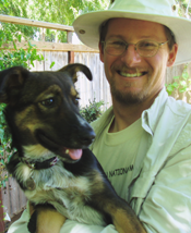 |
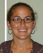 |
 |
| Instrumentation & data-logger programming |
Instrument specification & acquisition |
Educational assessment |
Vegetation guides & field work |
We’d also like to thank the many others who have been involved in or helped with this project, including (in alphabetical order): Robyn Clark, Billy Dole, Guylene Gadal, Tony Hartshorn, Charley King, Shishi Liu, Cara Moore, Dylan Parenti, Ryan Perroy, Mark Probert, Scott Raymond, Nina Salvador, Laurel Suter, Park Williams, Ted Eckmann's Geography 14 students from Spring 2007 at UCSB, and everyone else who has contributed. Your help is greatly appreciated.
| Funding Sources |
This project received major funding from the National Science Foundation (NSF) and from the Office of Instructional Consultation at the University of California at Santa Barbara (UCSB).
|
 |
 |
The name of this website (IDEAS: Innovative Datasets for Environmental Analysis by Students), and the IDEAS Logos, were developed by Ted Eckmann, Jennifer Taylor, Jenny Douthett, and Doug Carreiro. You're free to use them elsewhere as links to our website.
The animation below, and many others on this site, may not work unless you have a recent version of the Adobe Flash player installed; click here to download a current version of the Adobe Flash player (free).
Animations displaying text citing the "NOAA/ESRL Physical Sciences Division," (which is located in Boulder, Colorado) contain images created using their web site at http://www.cdc.noaa.gov/. For information about the data displayed in these images, see Kalnay et al. (1996) [NCEP/NCAR Reanalysis], Legates and Willmott (1990), Willmott and Matsuura (1995) [precipitation and temperature from Willmott and collaborators], van den Dool et al. (2003) [CPC Soil Moisture], and Adler et al. (2003) [GPCP Precipitation]. Many of those animations were created by Ted Eckmann's Geography 14 students from Spring 2007 at UCSB, and we would like to thank them for their contributions.
The true-color MODIS images used in the fire animations were obtained from the MODIS Rapid Response Project at NASA/GSFC.
NASA's "Blue Marble" was produced by NASA's Earth Observatory (see Stöckli et al. 2005).
Animations citing NASA's MOVAS/Giovanni (MODIS Online Visualization and Analysis System) contain images that were acquired using the GES-DISC Interactive Online Visualization and Analysis Infrastructure (Giovanni) as part of the NASA's Goddard Earth Sciences (GES) Data and Information Services Center (DISC).